Sale on canvas prints! Use code ABCXYZ at checkout for a special discount!

Previous Image

|

Next Image
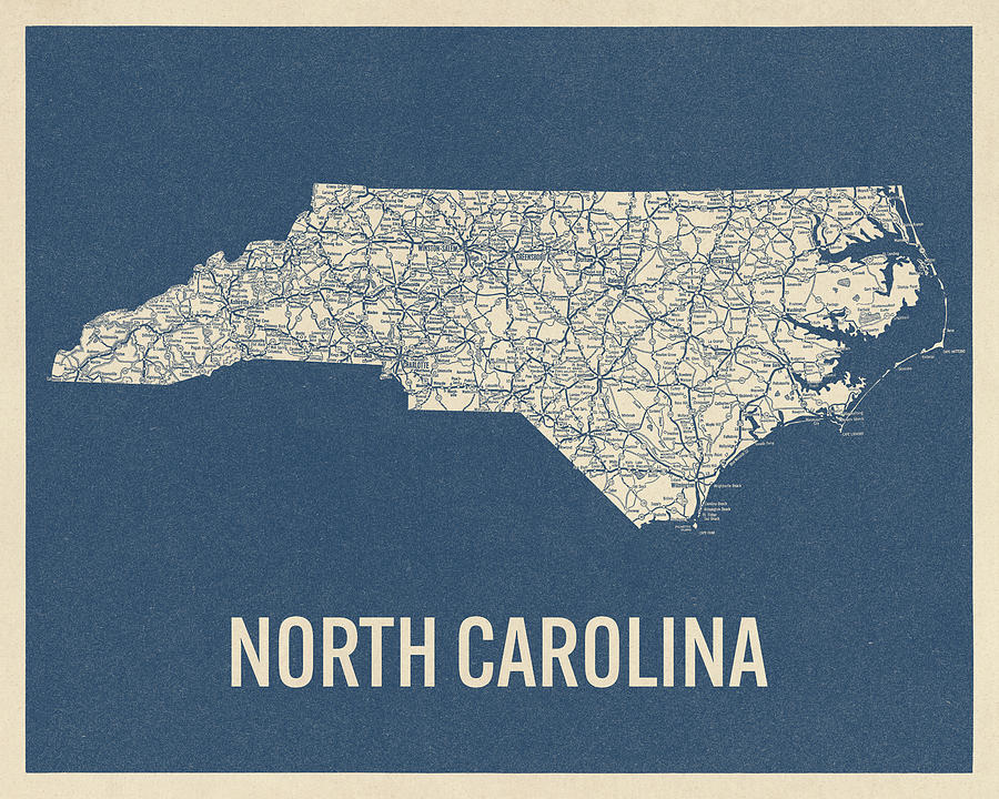
Vintage North Carolina Road Map, Blue on Beige #2 Drawing by Blue Monocle
Similar Images

Vintage Map of Great Smoky Mountains National Park from 1941 by Blue Monocle
Antique Map of North Carolina - 1893 by Blue Monocle
Antique Map of Durham North Carolina by A. Ruger - 1891 by Blue Monocle
Vintage Map of Great Smoky Mountains National Park - USGS Topographic Map - 1949 by Blue Monocle
Antique Map of North Carolina and Virginia by John White - 1590 by Blue Monocle
Antique Map of Raleigh North Carolina by C. N. Drie - 1872 by Blue Monocle
Antique Map of North Carolina by Fielding Lucas - circa 1817 by Blue Monocle
Antique Map of the Great Smoky Mountains - North Carolina and Tennessee - by W. L. Nickolson - 1864 by Blue Monocle
Antique Map of the Southeastern United States by Bernard Romans - 1776 by Blue Monocle
Antique Map of North Carolina and South Carolina by Joel Gascoyne - 1682 by Blue Monocle
Antique Map of the Middle American Colonies by Johann Baptist Homann - circa 1759 by Blue Monocle
Antique Map of the Southern American Colonies by Emanuel Bowen - 1752 by Blue Monocle
Vintage Map of North Carolina, 1840s by Blue Monocle
Vintage North Carolina Road Map, Blue on Beige #1 by Blue Monocle
Vintage Map of Great Smoky Mountains National Park from 1931 by Blue Monocle

Comments

There are no comments for Vintage North Carolina Road Map, Blue on Beige #2.   Click here to post the first comment.

Recently Viewed

Vintage North Carolina Road Map, Blue on Beige #2 by Blue Monocle
Previous Image Next Image