Sale on canvas prints! Use code ABCXYZ at checkout for a special discount!

Previous Image

|

Next Image
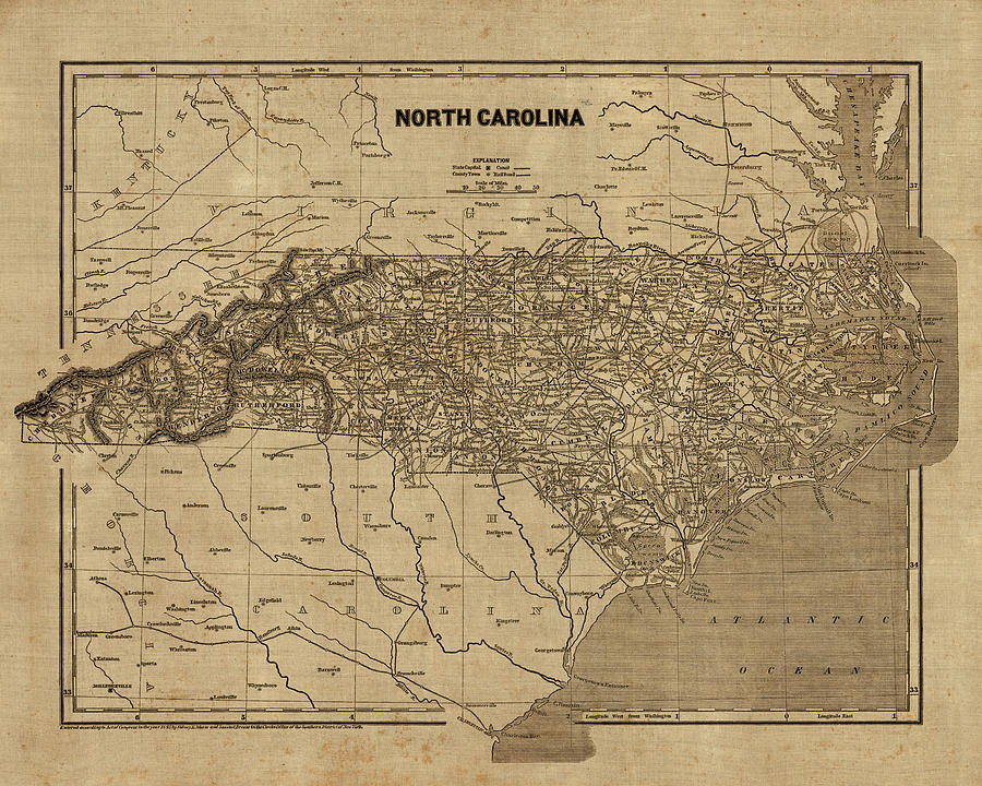
Vintage Map of North Carolina, 1840s Drawing by Blue Monocle
Similar Images

Vintage Map of Great Smoky Mountains National Park from 1941 by Blue Monocle
Antique Map of North Carolina - 1893 by Blue Monocle
Antique Map of Durham North Carolina by A. Ruger - 1891 by Blue Monocle
Vintage Map of Great Smoky Mountains National Park - USGS Topographic Map - 1949 by Blue Monocle
Antique Map of North Carolina and Virginia by John White - 1590 by Blue Monocle
Antique Map of Raleigh North Carolina by C. N. Drie - 1872 by Blue Monocle
Antique Map of the Southeastern United States by Bernard Romans - 1776 by Blue Monocle
Antique Map of North Carolina by Fielding Lucas - circa 1817 by Blue Monocle
Antique Map of the Great Smoky Mountains - North Carolina and Tennessee - by W. L. Nickolson - 1864 by Blue Monocle
Antique Map of North Carolina and South Carolina by Joel Gascoyne - 1682 by Blue Monocle
Antique Map of the Middle American Colonies by Johann Baptist Homann - circa 1759 by Blue Monocle
Antique Map of the Southern American Colonies by Emanuel Bowen - 1752 by Blue Monocle
Vintage North Carolina Road Map, Blue on Beige #1 by Blue Monocle
Vintage North Carolina Road Map, Blue on Beige #2 by Blue Monocle
Vintage Map of Great Smoky Mountains National Park from 1931 by Blue Monocle

Comments

There are no comments for Vintage Map of North Carolina, 1840s.   Click here to post the first comment.

Recently Viewed

Vintage Map of North Carolina, 1840s by Blue Monocle
Previous Image Next Image