Sale on canvas prints! Use code ABCXYZ at checkout for a special discount!

Previous Image

|

Next Image
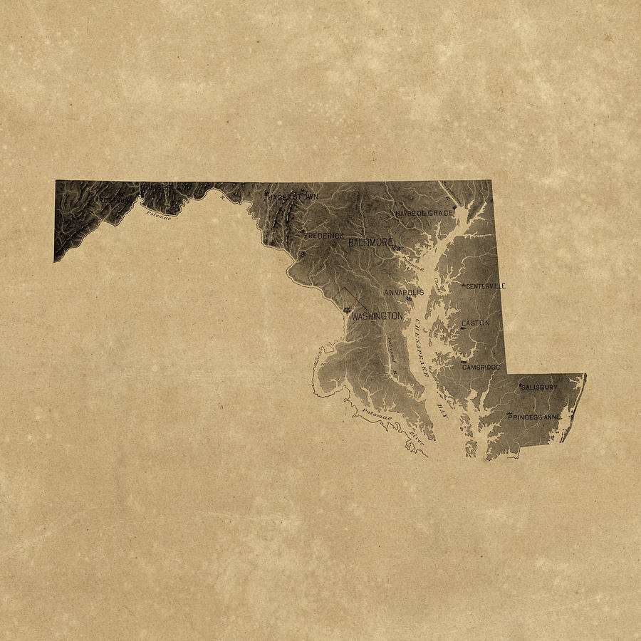
Vintage Maryland Relief Map Drawing by Blue Monocle
Similar Images

Antique Map of Maryland and Virginia by John Senex - 1719 by Blue Monocle
Antique Map of Virginia and Maryland by Augustine Herrman - 1673 by Blue Monocle
Antique Map of Baltimore Maryland by Sidney and Neff - 1851 by Blue Monocle
Antique Map of Maryland by Fielding Lucas - circa 1817 by Blue Monocle
Antique Map of Virginia and Maryland by John Smith - 1624 by Blue Monocle
Antique Map of Baltimore Maryland by Samuel Augustus Mitchell - 1863 by Blue Monocle
Antique Map of Baltimore, Maryland, Currier and Ives, 1880 by Blue Monocle
Antique Map of Virginia and Maryland by John Farrer - circa 1667 by Blue Monocle
Old Map of Maryland and Delaware - 1893 by Blue Monocle
Antique Map of the Middle American Colonies by Johann Baptist Homann - circa 1759 by Blue Monocle
Antique Map of Washington DC by Andrew B. Graham - 1891 by Blue Monocle
Vintage Map of Baltimore, Maryland, 1901, Blueprint Style by Blue Monocle
Vintage Maryland Road Map, Blue on Beige #1 by Blue Monocle
Vintage Maryland Road Map, Blue on Beige #2 by Blue Monocle

Comments

There are no comments for Vintage Maryland Relief Map.   Click here to post the first comment.

Recently Viewed

Vintage Maryland Relief Map by Blue Monocle
Previous Image Next Image