Sale on canvas prints! Use code ABCXYZ at checkout for a special discount!

Previous Image

|

Next Image
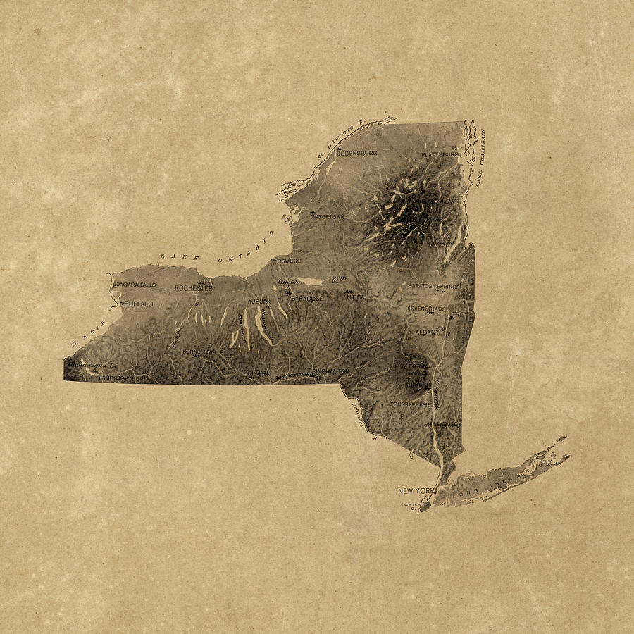
Vintage New York State Relief Map Drawing by Blue Monocle
Similar Images

Antique Map of Washington DC by Colton and Co - 1862 by Blue Monocle
Antique Map of Philadelphia by P. C. Varte - 1875 by Blue Monocle
Antique Map of Florida and the Southeast by Thomas Jefferys - 1768 by Blue Monocle
Antique Map of Yellowstone National Park by the U. S. War Department - 1900 by Blue Monocle
Antique Map of Alexandria Virginia by Charles Magnus - 1863 by Blue Monocle
Antique Railroad Map of Chicago - 1897 by Blue Monocle
Antique Map of California by E. McD. Johnstone - 1888 by Blue Monocle
Antique Map of the Western Hemisphere by William Faden - 1786 by Blue Monocle
Antique Map of the Lewis and Clark Expedition by Samuel Lewis - 1814 by Blue Monocle
Antique Map of Texas by John Arrowsmith - 1841 by Blue Monocle
Antique Map of Maryland and Virginia by John Senex - 1719 by Blue Monocle
Vintage Map of Great Smoky Mountains National Park from 1941 by Blue Monocle
Vintage Map of Detroit Michigan from 1947 by Blue Monocle
Antique Map of New Orleans by Currier and Ives - circa 1885 by Blue Monocle
Antique Map of Boston by William Price - 1769 by Blue Monocle
Antique Map of the Battle of Gettysburg by William H. Willcox - 1863 by Blue Monocle
Antique Map of the Great Lakes by Jacques Nicolas Bellin - 1755 by Blue Monocle
Antique Map of Long Island by J.H. Colton and Co. - 1857 by Blue Monocle
Antique Map of Virginia and Maryland by Augustine Herrman - 1673 by Blue Monocle
Antique Map of Italy by Fielding Lucas - circa 1817 by Blue Monocle

Comments

There are no comments for Vintage New York State Relief Map.   Click here to post the first comment.

Recently Viewed

Vintage New York State Relief Map by Blue Monocle
Previous Image Next Image