Sale on canvas prints! Use code ABCXYZ at checkout for a special discount!

Boundary: Bleed area may not be visible.

Inside Message (Optional)
Inside View

by Blue Monocle
$4.95
Quantity
The more you buy... the more you save.
Orientation
Image Size
Product Details
Our greeting cards are 5" x 7" in size and are produced on digital offset printers using 100 lb. paper stock. Each card is coated with a UV protectant on the outside surface which produces a semi-gloss finish. The inside of each card has a matte white finish and can be customized with your own message up to 500 characters in length. Each card comes with a white envelope for mailing or gift giving.
Design Details
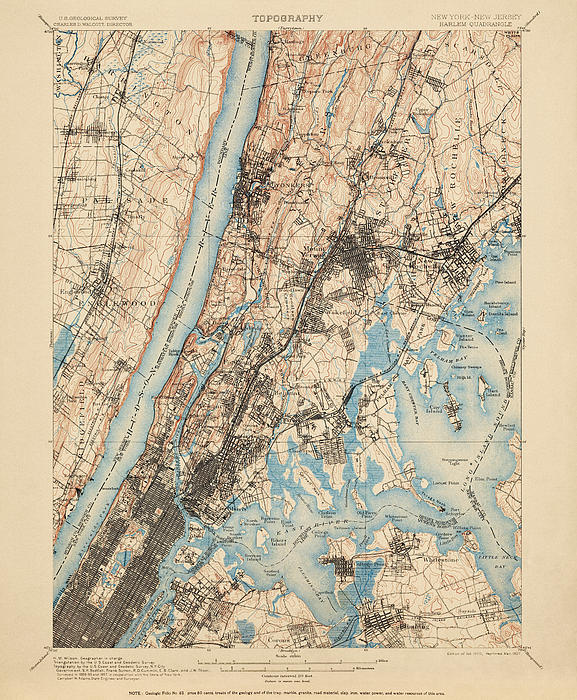
Historic USGS topographic map of New York City based on the 1907 reprint of the 1900 edition. The map covers New York City, including Manhattan (from... more
Ships Within
2 - 3 business days
Historic USGS topographic map of New York City based on the 1907 reprint of the 1900 edition. The map covers New York City, including Manhattan (from about 34th St. northward), the Bronx, part of Queens, as well as the region north of the city to about Hastings-on-Hudson and Scarsdale. Includes numerous details, including the locations of towns, neighborhoods, roads, buildings, railroads, as well as elevation contour lines.
Blue Monocle is an imaging studio and print shop specializing in the digital restoration and presentation of antique maps.
$4.95


There are no comments for Antique Map of New York City - USGS Topographic Map - 1900. Click here to post the first comment.