Sale on canvas prints! Use code ABCXYZ at checkout for a special discount!

Previous Image

|

Next Image
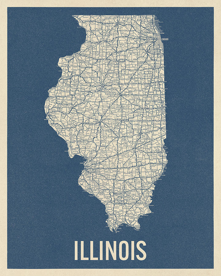
Vintage Illinois Road Map, Blue on Beige #2 Drawing by Blue Monocle
Similar Images

Antique Map of the Great Lakes by Jacques Nicolas Bellin - 1755 by Blue Monocle
Antique Map of Chicago - USGS Topographic Map - 1901 by Blue Monocle
Antique Map of Chicago by Currier and Ives - 1892 by Blue Monocle
Antique Map of Chicago Illinois by A. Ruger - 1868 by Blue Monocle
Antique Railroad Map of Chicago - 1897 by Blue Monocle
Antique Map of Chicago by Willis J. Champion - 1908 by Blue Monocle
Antique Map of Chicago Illinois as it Appeared in 1871 Before the Fire by Blue Monocle
Antique Map of the Upper Midwest US by Fielding Lucas - circa 1817 by Blue Monocle
Antique Map of the Midwest US by Kneass and Delleker - circa 1810 by Blue Monocle
Vintage Map of Illinois, 1840s by Blue Monocle
Vintage Map of Chicago, Illinois, 1901, Blueprint Style by Blue Monocle
Antique Map of Chicago, Illinois, 1863 by Blue Monocle
Vintage Illinois Road Map, Blue on Beige #1 by Blue Monocle

Comments

There are no comments for Vintage Illinois Road Map, Blue on Beige #2.   Click here to post the first comment.

Recently Viewed

Vintage Illinois Road Map, Blue on Beige #2 by Blue Monocle
Previous Image Next Image